
Oak Forest Address History Sources
No single roll spans every era of an Oak Forest address. Current parcel records establish the PIN, which is the county's parcel identification number. Recorded instruments then connect owners across transfers. Printed directories and census schedules can supply occupants, while maps and city files explain changes to the site itself. The table marks only coverage found in the local research. A missing beginning year is not filled with a guess.
| Source | Years It Covers | Where Held | What It Shows |
|---|---|---|---|
| Clerk Recordings System | Through August 6, 2026; start unstated | Cook County Clerk | Grantors, grantees, dates, document types, and legal descriptions |
| CookViewer parcel archive | 2000 to current | Cook County GIS | Parcel shape, imagery, municipality, districts, and change context |
| Chicago city directories | 1871-1917, 1923, 1928-1929 | SSGHS | Names, addresses, spouse and household marks |
| Regional telephone directory lead | June 1977 volume located | Library catalog or SSGHS | Published subscriber, address, and phone |
| Federal census schedules | Released schedules through 1950 | NARA and library databases | Household members, ages, relationships, and residence |
| Permits and code files | Dates vary | Oak Forest Building Department or FOIA | Permit, inspection, complaint, and project chronology |
Start with the newest reliable source for the question. For a recent transfer, use the parcel card and recording index. For a mid-century household, confirm the exact regional telephone volume before relying on it. Earlier work may need a directory, census schedule, cemetery record, and historic map in combination. An occupant can differ from the owner, and a tax mailing address can point outside Oak Forest. Those differences are evidence, not errors by themselves.
The county's property information portal is shown in the manifest capture below.
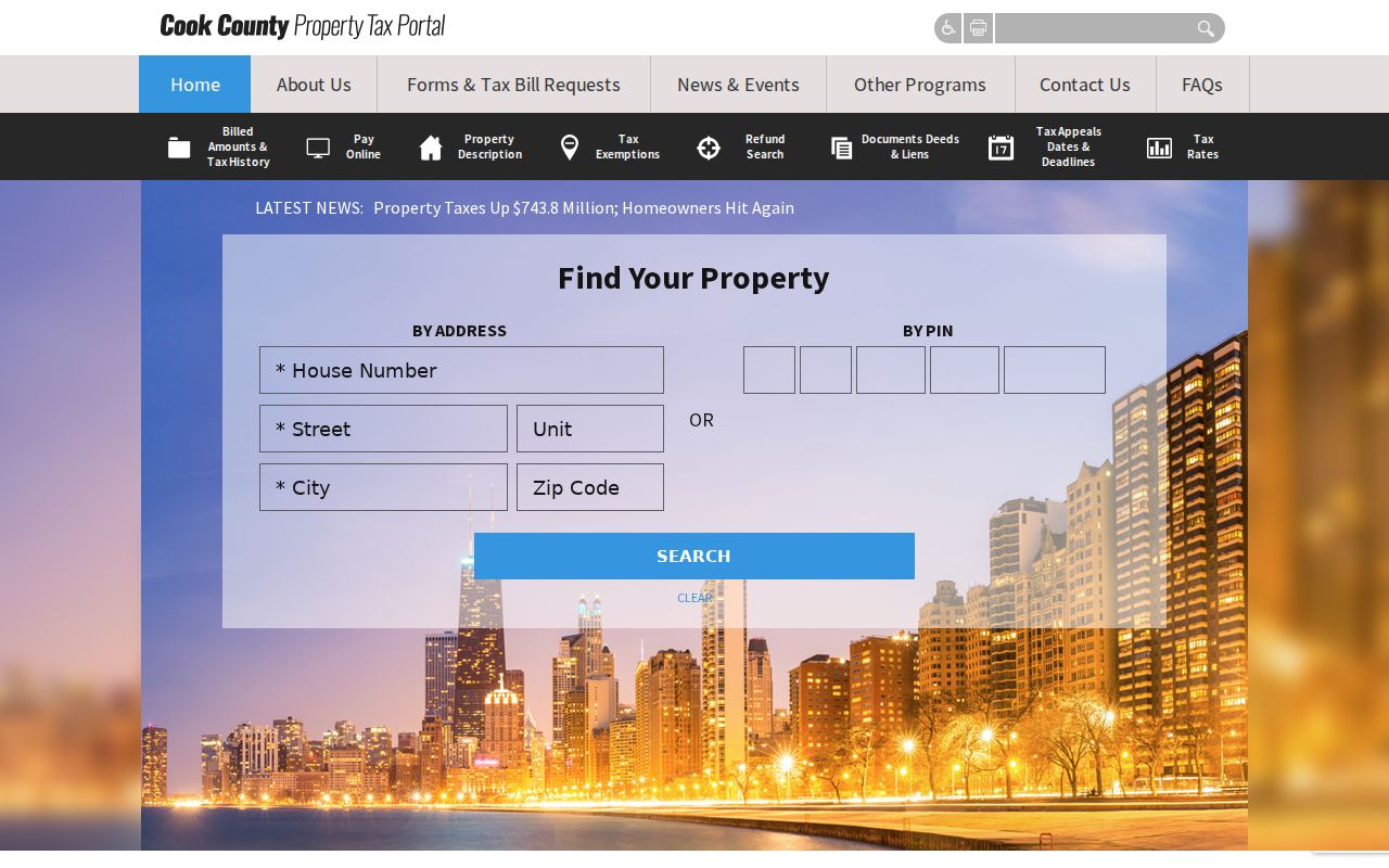
Use its current parcel data as the newest point in a timeline, then verify transfers in the recording index.
Preserve the Oak Forest PIN
Enter the full situs address in CookViewer, select the parcel, and save both dashed and plain forms of the PIN. Situs means the physical property address. Also record municipality, Bremen Township, parcel class, and the owner's mailing address as separate fields. The mailing field tells where tax correspondence goes; it does not prove where the owner lives.
The PIN and legal description can survive a change in street wording better than the curb address. One project address may also cover more than one parcel. If CookViewer returns several shapes, open each card instead of choosing the first. Compare historic parcel layers from 2000 onward, but treat them as map evidence rather than a deed chain.
Note: Keep situs, mailing, postal ZIP, municipality, township, PIN, and legal description in separate columns throughout the search.
Walk Cook County Deeds Backward
The Cook County Clerk Recordings System offers Full Search, Address/PIN Search, and Advanced Search. Its own tips recommend the PIN. Advanced tabs support grantor or grantee name, document type and date, trust number, subdivision, and legal description. The page showed documents indexed through August 6, 2026 during research, but it did not state the first online year. That gap matters for previous residents.
- Use the Assessor and CookViewer to copy the current owner, PIN, situs, mailing address, and legal description.
- Search that PIN in CRS and identify the newest conveyance deed. Record its document number, type, date, grantor, grantee, and description.
- Take the seller, the grantor on that deed, and search the same person or entity as an earlier grantee at the same parcel.
- Repeat the handoff. Test spelling variants, trusts, estates, survivorship terms, quitclaims, subdivisions, and prior legal descriptions.
- When the index stops, contact the Clerk for older books, plats, excluded images, and copy options rather than assuming the chain begins there.
- Grantor and grantee
- The grantor gives an interest; the grantee receives it.
- Chain of title
- The linked sequence of recorded transfers affecting one parcel.
- Legal description
- The formal land description using subdivision, block, lot, or section, township, and range.
- Criss-cross directory
- A directory arranged by street and number so an address leads to a listed occupant.
A deed dates a recorded property interest, not every move-in or move-out. Mortgages, releases, liens, easements, and plats can help explain a timeline without transferring ownership. Selected instrument classes may need a downtown-office copy. Ask for the current cost before ordering because online, paper, certified, and excluded-document routes differ.
When Oak Forest Indexing Stops
A blank CRS result has several possible causes: the instrument predates online coverage, a party name was indexed differently, a trust holds title, the parcel once used another legal description, or the image is not sold online. Search by PIN first, then grantor/grantee, date range, subdivision, and section-township-range. CRS also has an Indexing Corrections route when an entry is wrong.
The Cook County Clerk assumed the former Recorder of Deeds duties on December 7, 2020. Older references may still tell researchers to contact the Recorder, but the current custodian is the Clerk. For hard gaps, use the downtown recordings office, request a non-certified or certified copy, and bring the best document number, party, year, PIN, and legal description available.
The Cook County recordings office explains the present service structure. A gap online is not proof that no older deed exists.
The Clerk's Property Fraud Alert page is another recordings-office route captured for Oak Forest address researchers.
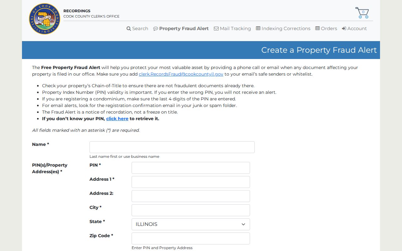
The alert can flag later documents associated with a registration, but it does not reconstruct earlier occupants or guarantee title.
Maps Bridge Old Oak Forest Addresses
Historic maps help when the street label and parcel no longer line up. The South Suburban Genealogical and Historical Society lists Cook County maps from 1851, 1861, 1862, 1870, 1886, and 1890, plus Bremen-area sidwell maps. Library of Congress resources identify Chicago and Cook County Sanborn volumes from 1911 and August 1949 that include Oak Forest among covered places. Exact local sheets still need browsing.
Sanborn maps can show a building footprint, road layout, and fire or water context. They do not name an owner. Match the structure and old road to a legal description, then return to deeds and directories. No official Oak Forest street-renumbering schedule was found, so never assign a renumbering year from a spelling change alone. Acorn Public Library and SSGHS are the best places to ask about former road names, local plats, and unlisted house-history material.
Pair Oak Forest Directories and Census
A directory is a dated snapshot, while a census schedule describes one enumeration date. Pairing them narrows the time when previous residents appeared or left. The regional directory shelf is incomplete, so an absence means only that the person was not found in that volume.
- Search the street section for the address and copy every listed household mark.
- Check the alphabetical entry for the surname, spouse notation, occupation, and any other address.
- Repeat in the nearest available directory year and note gaps in the run.
- Compare the closest released census schedule, checking household relationships and Bremen Township context.
- Return to deeds to test whether the listed occupant owned the parcel or lived there under another arrangement.
The full collection details belong to the Oak Forest city directory page. For address history, the key point is timing. The SSGHS Chicago run covers 1871-1917, then 1923 and 1928-1929. Newberry provides regional examples, including a 1923 Polk place index that names Oak Forest. A June 1977 regional telephone directory is a catalog lead, but its exact shelf access should be confirmed.
Local Endpoints for Past Residents
Death, probate, and burial records often explain why an occupant trail ends. SSGHS holds a Blue Island Sun obituary index for 1919-1969 and Oak Forest Hospital Cemetery records for 1910-1971. Its cemetery master index covers more than 62,500 names across 93 area cemeteries. FamilySearch catalogs an Ebenezer Evangelical Lutheran Cemetery transcription for burials from 1921-1963.
Use each as a lead. Confirm an obituary in the paper, a burial in the original record, and a death through the Cook County Clerk or Illinois Department of Public Health rules. Probate files may name heirs or representatives, though an address in an estate case may be old or restricted. Cook genealogy copies are non-certified and use published age thresholds. They do not replace a certified record.
Oak Forest Permits Date Changes
The city does not publish a complete address-searchable permit or code index. A focused request to the Oak Forest Building Department or City FOIA office can ask for permits, inspections, property-maintenance cases, or public project records tied to an address and date range. Provide the PIN and legal description when possible.
A permit can date an addition or demolition and may name an applicant or contractor. It does not prove who slept at the property. Utility customers and delivery records are not public household directories. Effective January 1, 2026, Oak Forest says an emailed FOIA request must put its full text in the email body because the city need not open attachments or links.
Note: Ask for a defined record type and time span; a public body need not create a new previous-resident list.
Separate Oak Forest Owners and Households
Ownership and residence are different timelines. A grantee may be a trust or nonresident owner. A directory may list an occupant, relative, boarder, caretaker, or business. Census and obituary details can strengthen a household link, but each still belongs to a date. Previous residents should be described with the record and year that support the claim.
Local names also change. Search Cooper's Grove, New Bremen, Bremen Township, and Oak Forest when the period calls for it. The city's history places the earliest located Oak Forest reference in an 1893 railway timetable, followed by village incorporation in 1947 and city status in 1971. Those shifts can change how an otherwise stable place appears in an index.
Lawful use. Research previous residents for house history, genealogy, estate work, or personal curiosity. Never use an address trail to monitor, threaten, harass, or defeat a protected person's privacy.