
Oak Forest Block Lookup Sources
The immediate block is a set of separate parcels and public layers. CookViewer supplies the map, the Assessor supplies an owner and tax-mailing clue, and recorded instruments show interests in each lot. The voter lookup can confirm one supplied person's registration details, but it cannot export a block. Community notices show public activity without exposing membership.
| Source | What It Shows About a Block | Access |
|---|---|---|
| CookViewer Nearby Search | Adjacent parcels, PINs, addresses, layers, and district context | Free, no login; select a source parcel first |
| Cook County Assessor | Owner, mailing address, class, value, and exemption clues per parcel | Public search with CAPTCHA |
| Clerk Recordings System | Deeds, shared subdivisions, transfers, and legal descriptions | Free index; some copies paid or office-only |
| Illinois voter lookup | A match for one supplied person, ZIP, and street | Two-stage individual lookup, not a block roll |
| City and civic sources | District maps, archive items, and public meeting notices | Open pages or a focused records request |
| Acorn and SSGHS | Historic maps, directories, yearbooks, and cemetery context | Online leads and in-person collection help |
An owner name is not a complete answer about neighbors. The tax-mail address may be elsewhere, and occupants may never appear on an ownership record. Record the source date and describe exactly what it proves. Parcel cards place land and an owner-of-record clue. Deeds document transfers. A civic notice proves that a meeting was announced, not that everyone nearby joined it.
Use Nearby Search in Oak Forest
The key CookViewer detail is easy to miss: first find and select the source parcel, then open Nearby Search and increase the radius. A broad radius before selection will not build the same parcel set. Search by full address, PIN, or street intersection. Click the source lot, save its PIN, and browse outward along both sides of the street.
The CookViewer parcel viewer offers Compare, historical parcel layers from 2000 to current, imagery, zoning context, district layers, reports, and CSV or XLSX exports. Layers depend on zoom, and their dates can differ. The result is a parcel worksheet, not a resident roster.
Note: A nearby radius can cross a ward, ZIP, school district, park district, township, or municipal edge within a short walk.
Map Oak Forest Parcels Outward
Build the block from one verified address. Do not infer a neighboring address merely from number order. Each parcel may have its own unit form, mailing city, class, subdivision, or boundary status. Keep one row per lot and open the Assessor or Clerk link separately.
- Normalize the starting address in CookViewer and save its dashed and plain PIN.
- Select Nearby Search, set a modest radius, and list adjacent parcel PINs and situs addresses.
- Open each Assessor card. Record owner, mailing address, property class, exemption clue, and data date without calling the owner an occupant.
- Use CRS when a deed, subdivision, or shared legal description matters. Save the instrument number and date.
- Add zoning, ward, school, park, library, and township layers as separate boundary facts.
For a longer run beyond the immediate radius, switch to the Oak Forest street directory workflow. It treats the named street in segments and follows each PIN through address-keyed sources.
Read Oak Forest Neighbor Cards
The Cook County Assessor address search asks for house number, optional direction and unit, street name without a suffix, city, and CAPTCHA. A selected parcel can show owner and mailing details, class, assessed value, exemptions, neighborhood, and building traits. CookViewer adds municipality, township, districts, zoning context, and imagery.
Situs means the land's physical address. Mailing address means the destination for tax correspondence. They may match, but they answer different questions. An exemption can support an owner-occupancy clue, not identify every household member. If a card seems wrong, compare its PIN and legal description with the deed index before drawing a conclusion.
- PIN
- The Cook County parcel identification number used across property systems.
- Situs address
- The physical address assigned to the parcel.
- Mailing address
- The address used for tax or owner correspondence.
- Legal description
- The formal land identity based on subdivision, lot, block, or survey fields.
Fieldcrest Offers a Civic Lead
Oak Forest's public e-Brief recorded a Fieldcrest Neighborhood Watch meeting. That is a useful, narrow sign of organized block activity. It does not create a public member directory, and no official umbrella list of every Oak Forest association or HOA was located.
The Fieldcrest meeting notice can lead to City Hall for current public notices and contact rules. Acorn Public Library's community page also points to city maps, the Oak Forest-Crestwood Chamber, Rotary, and civic resources. Ask whether a group publishes a public contact or meeting calendar. Do not scrape private groups or infer membership from a person's address.
The city notice is shown below as the manifest's local civic capture.
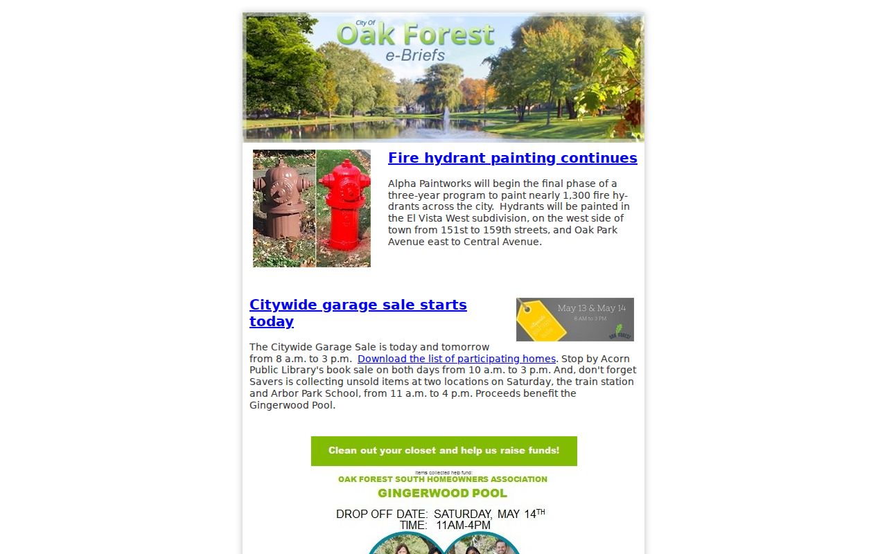
It documents a public meeting lead while leaving the roster boundary intact.
Oak Forest Community Directory Layers
The Oak Forest resource directory has a name field, category menu, and A-Z controls. It can identify public organizations or businesses near a block, but it is not a residents list. The manifest capture shows the directory surface.
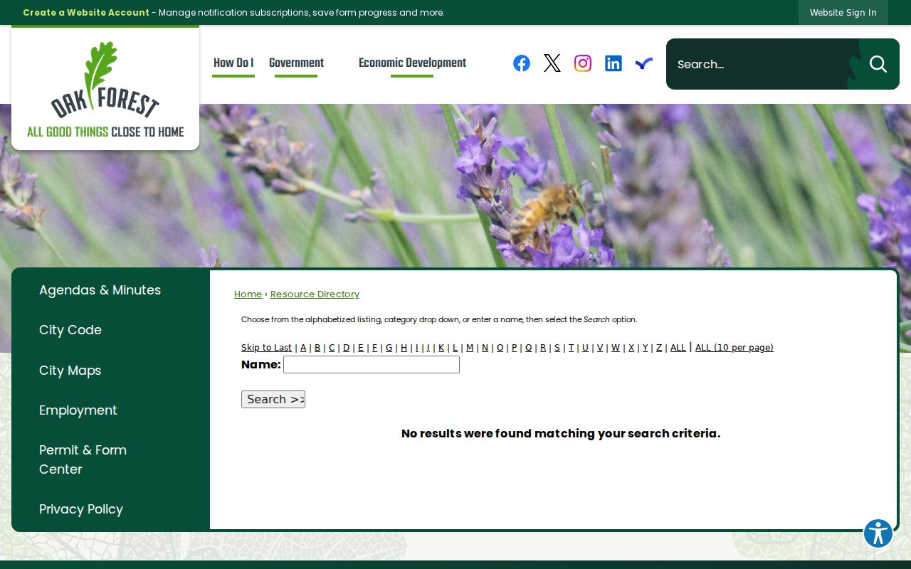
Use a listed public contact to ask about meetings or published community information, not for private member data.
Schools, churches, cemetery groups, yearbooks, civic clubs, and historic newsletters can make an older block easier to understand. Acorn and SSGHS are the proper access points. Their collections may contain a street name or family link, but each item needs a date and source. Community ties do not prove present residence.
Search Oak Forest Block History
The Oak Forest document archive supports categories, keywords, and dates. Search a street, board, public project, or civic event, then open the original agenda, newsletter, report, or notice. The archive interface captured for this page shows the official municipal route.
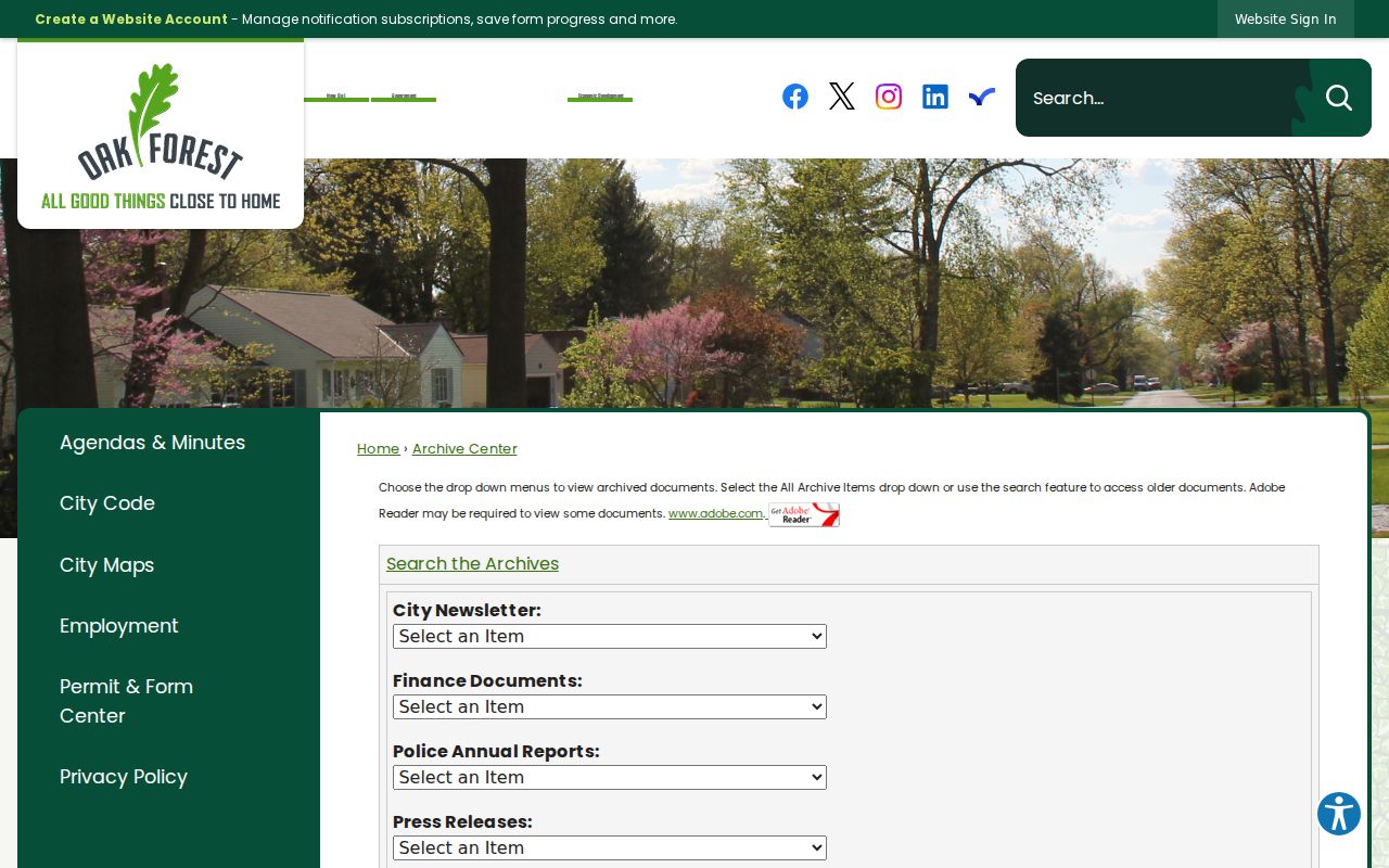
An archive match adds dated civic context. It should not be stretched into a claim about everyone who lived nearby.
For an older street scene, pair the present parcel set with SSGHS township maps, the 1923 and 1928-1929 directory holdings, the Newberry regional scan, and the identified Sanborn volumes. Old road names may use Cooper's Grove, New Bremen, Bremen Township, or Oak Forest. No verified street-renumbering schedule was found.
A block worksheet makes those layers easier to audit. Give each parcel its own row. Record the full situs address, postal city and ZIP, municipality, Bremen Township status, PIN, owner field, mailing address, property class, zoning, and the date shown by the source. Add separate columns for a Clerk document lead, a historic directory occupant, and a civic notice. This prevents a deed party, tax mail recipient, or person in an old directory from being blended into one supposed household.
Boundary facts also need dates. The May 2026 city agenda for a parcel at 5048 W 171st Street described it as unincorporated Bremen Township, contiguous to Oak Forest, with a Cook PIN and no electors. That example shows why a postal label, township, and city boundary should not be treated as synonyms. When adjacent lots fall on different sides of a line, verify each one through the current map and the original public document.
Official Oak Forest Rolls Compared
Official sources are narrower than commercial neighbor tools, but their scope and custodian are visible. Aggregated commercial products may merge people, lag corrections, and strip dates from source records. No such service can turn adjacency into a verified relationship.
| Source type | Strength | Key limit |
|---|---|---|
| County parcel and deed records | Parcel identity, owner clue, recorded chronology | Owners and deed parties are not all occupants |
| City and civic sources | Public districts, projects, notices, and contacts | No complete neighborhood roster |
| Commercial compiled data | May combine many old sources | Can be stale, merged, or detached from context |
Protect Privacy of Oak Forest Neighbors
Public block records do not reveal unlisted household members, children, private utility or delivery customers, sealed court parties, DMV addresses, or every renter. The Illinois public voter lookup is person-specific. The full voter file is restricted to eligible political or government uses under 10 ILCS 5/4-8 and omits full birth dates from distributed data.
Illinois's Address Confidentiality Program provides qualifying survivors of domestic violence, sexual assault, trafficking, and stalking with a substitute mailing address and mail forwarding. It does not make old records vanish, and no one should use surrounding parcels to defeat that protection. A missing result may reflect privacy rules, an index gap, a changed name, or a different custodian.
Lawful use. Use neighbor records for civic curiosity, history, reconnection, or personal safety. Never monitor, threaten, harass, or publish a protected person's location.